
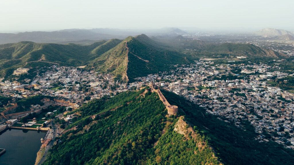

Background of the Aravalli Mapping Exercise
The Supreme Court of India recently expressed strong dissatisfaction with a proposed timeline for defining the Aravalli range. The judicial intervention comes as part of an ongoing effort to establish clear boundaries for the ecologically sensitive region. Defining the scope and exact limits of the hills remains a priority for environmental preservation and regulatory compliance.
Objections Raised by the Chief Justice
During the recent proceedings, the Chief Justice of India firmly rejected a completion deadline extending into early 2027 proposed by the official panel. Highlighting the need for swift action, the bench questioned the extended timeframe, signaling that environmental matters of this magnitude require expedited attention rather than prolonged delays.
Significance of the Judicial Directive
This development carries substantial weight because the fresh exercise to accurately map and define the Aravallis was explicitly ordered by the apex court itself. Courts across the nation frequently monitor such ecological initiatives to prevent illegal mining, unauthorized construction, and environmental degradation in ancient mountain ranges.
Next Steps for the Panel
Following the rejection of the distant timeline, the committee responsible for the mapping project is expected to reassess its workflow. Authorities must now accelerate their administrative and field processes to meet stricter judicial expectations and deliver the required definitions within a more acceptable timeframe.