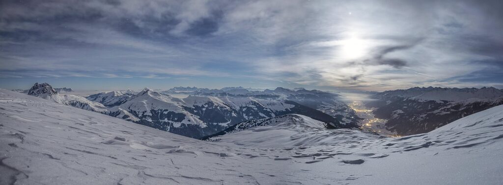

Photographer Jonathan Irish has completed a comprehensive visual survey of the United States, documenting the nation’s diverse topography through a project titled “American Panorama.” Launched to coincide with a broader appreciation of natural landmarks, the collection offers a modern perspective on the country’s geography, from the rugged coastlines of the Pacific Northwest to the historic plains of the American South.
The Evolution of American Landscape Photography
Landscape photography has long served as a primary tool for shaping the national identity of the United States. Following the tradition of 19th-century pioneers like Ansel Adams and Carleton Watkins, contemporary photographers continue to use the medium to document the shifting state of public lands and protected wilderness areas.
The “American Panorama” project arrives at a time when climate change and land development are increasingly altering the character of these regions. By utilizing modern digital techniques, Irish provides high-definition clarity that highlights both the preservation success stories and the environmental vulnerabilities of the American terrain.
A Multi-Faceted View of the Nation
The collection functions as a geographic mosaic, segmenting the country into distinct biomes and cultural zones. Irish’s work emphasizes the contrast between the arid deserts of the Southwest and the dense, temperate rainforests of the Olympic Peninsula.
Data from the National Park Service indicates that visitation to federal lands has reached record highs in recent years, reflecting a renewed public interest in outdoor spaces. Irish’s photographs capture this intersection of human recreation and untouched nature, providing a visual record of how Americans interact with their environment.
“Photography is a bridge between the physical reality of a place and the collective memory of the public,” says environmental historian Dr. Elena Vance. “When we see these spaces documented with such precision, it changes the way we perceive land management policies and conservation efforts.”
Implications for Future Conservation
The project highlights the necessity of maintaining geographical documentation for scientific research. These visual archives allow ecologists to track erosion patterns, vegetation changes, and the impact of urbanization over time.
For the average viewer, the work serves as a reminder of the vast scale of the North American continent. It challenges viewers to consider the interconnectedness of disparate regions, noting how water cycles in the Rockies directly influence the agricultural viability of the Great Plains.
Observers should watch for how this imagery influences upcoming legislative debates regarding the expansion of national monuments. As the visual narrative of the American landscape becomes more accessible, public pressure regarding the protection of these sites is expected to intensify in the coming election cycles.