
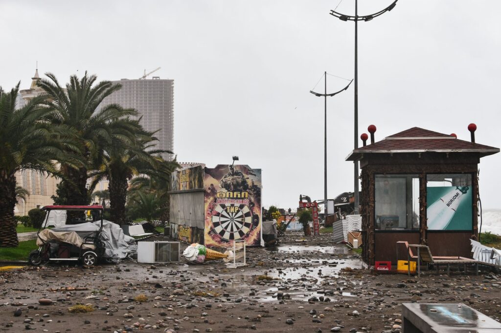

Understanding Hurricane Karina
Hurricane Karina has rapidly strengthened into a powerful Category 4 storm while moving across the open waters of the Pacific Ocean. Meteorological agencies are closely monitoring the system as it continues to gain power in deep waters, far away from any immediate coastal populations.
Current Status and Location
At present, the storm is located approximately 1,020 miles away from the nearest landmass. Despite this vast distance, weather experts anticipate that the system may undergo further strengthening over the coming days as atmospheric and oceanic conditions remain favorable for intensification.
Potential Impacts on Coastal Regions
Although Hurricane Karina currently poses no direct threat of making landfall, coastal communities must remain vigilant. Forecasters predict that the massive storm system could eventually influence weather patterns and marine conditions along the coastlines of Mexico and Southern California.
Ocean Swells and Rip Currents
The primary concern for coastal areas in the path of the distant storm involves hazardous marine conditions. Swells generated by the Category 4 hurricane are expected to travel thousands of miles across the ocean basin, potentially bringing elevated surf and dangerous rip currents to regional beaches.
Continuous Monitoring by Forecasters
Meteorologists and emergency management teams continue to track the trajectory and intensity of Hurricane Karina using advanced satellite imagery and computer modeling. While direct impacts on land are not currently expected, shifts in the storm track could alter forecasts, making ongoing updates critical for public awareness.