
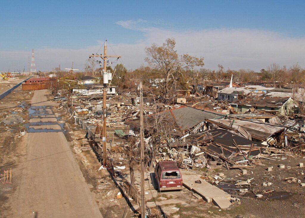

New Jersey emergency crews and residents began widespread cleanup efforts on Thursday following a series of powerful, back-to-back thunderstorms that swept through the state on Wednesday evening, bringing flash flooding and structural damage in the wake of a prolonged extreme heat wave. The storms, which intensified rapidly, caused significant property damage, most notably at a BJ’s Wholesale Club where high winds ripped the roof from the building, forcing evacuations and triggering emergency response operations.
The Context of Rapid Weather Shifts
The severe weather follows several days of dangerous heat across the Northeast, where temperatures soared into the high 90s, pushing power grids to their limits and prompting heat advisories. Meteorologists note that the transition from extreme heat to violent thunderstorms is a common atmospheric phenomenon, as the intense buildup of heat and humidity creates the necessary instability for severe convective systems to develop.
Structural Damage and Impact
The most dramatic incident occurred in the central part of the state, where localized high-wind events—potentially microbursts—caused extensive damage to commercial infrastructure. Local authorities reported that the collapse of the roof at the BJ’s Wholesale Club was accompanied by downed power lines and significant debris scattered across major roadways, complicating travel for commuters and emergency responders alike.
Beyond the structural damage, the storms dumped several inches of rain in a short timeframe, overwhelming local drainage systems. Flash flooding stranded motorists in low-lying areas, with several water rescues reported by local fire departments throughout the night. Utility companies, including PSE&G and JCP&L, reported thousands of power outages, with crews working through the night to restore electricity to affected neighborhoods.
Meteorological Perspectives
Weather experts point to the interaction between the lingering heat dome and a cold front moving in from the west as the primary driver of the instability. According to the National Weather Service, the combination of high dew points and daytime heating acted as fuel for the storm cells, allowing them to rapidly intensify as they moved across the region.
Data from local stations confirmed wind gusts exceeding 60 miles per hour in some areas, meeting the criteria for severe thunderstorm warnings. While the immediate threat has passed, meteorologists continue to monitor the ground saturation levels, noting that even minor subsequent rain could trigger further localized flooding due to the inability of the soil to absorb more moisture.
Industry and Residential Implications
For residents, the event serves as a stark reminder of the increasing volatility of regional weather patterns. Homeowners are encouraged to assess structural integrity following such high-wind events and to review their insurance policies for flood and storm damage coverage, which can vary significantly by municipality.
Looking ahead, the focus shifts to infrastructure resilience and emergency preparedness. Municipalities are expected to re-evaluate drainage capacity in flood-prone zones, while businesses are reviewing emergency protocols regarding severe weather alerts. Observers will be watching to see if these back-to-back weather extremes become the standard operating environment for the region, potentially necessitating shifts in long-term urban planning and disaster mitigation funding.