





The Return of Extreme Heat
The India Meteorological Department (IMD) has issued a severe weather alert for Delhi-NCR, warning of furnace-like conditions that are expected to persist through Friday. Residents across the National Capital Region are bracing for scorching daytime temperatures, accompanied by gusty winds and localized dust storms as the region enters another peak heat cycle.
Context and Current Conditions
The capital has recorded a minimum temperature of 28.4°C, which is significantly above the seasonal average for this time of year. Across the broader Indian landscape, several regions have reported temperatures exceeding 47°C, pushing infrastructure and public health services to their limits.
The Science of the Current Weather Pattern
Meteorologists attribute the current spike to a combination of persistent dry air and the absence of cooling precipitation. The anticipated gusty winds and dust storms, while providing a temporary sense of air movement, are expected to exacerbate air quality issues as particulate matter is whipped into the atmosphere.
Data from the IMD indicates that these conditions are driven by a high-pressure ridge stalling over North India. This atmospheric stagnation prevents the influx of cooler, moist air from the Arabian Sea, effectively trapping heat over the urban heat island of Delhi.
Public Health and Urban Impact
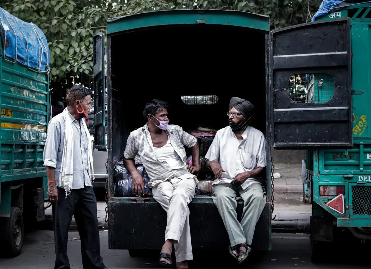
Extreme heat poses significant risks, particularly for vulnerable populations such as the elderly, outdoor laborers, and children. Health experts advise minimizing outdoor activities during peak sun hours—typically between 11:00 AM and 4:00 PM—to prevent heat exhaustion and heatstroke.
Urban infrastructure is also under stress, with water consumption levels reaching record highs. Local authorities have cautioned residents to stay hydrated and monitor local weather updates closely as the region navigates these high-temperature days.
Looking Ahead
While the current heatwave is expected to dominate the local forecast through Friday, the IMD anticipates a shift in weather patterns starting May 29. A potential change in wind direction could bring much-needed moisture to the region, offering a reprieve from the stifling heat.
Observers are now tracking the onset of the monsoon’s movement toward the mainland, which remains the primary factor for long-term relief. In the immediate future, residents should watch for further government advisories regarding school operations and outdoor work safety as the IMD continues to monitor the atmospheric trajectory.